
Safer, Accurate and More Cost Effective Drone Surveys
Award-winning drone surveys from the UK’s most trusted drone service partner - when it comes to surveying the land from the air, we go above and beyond!

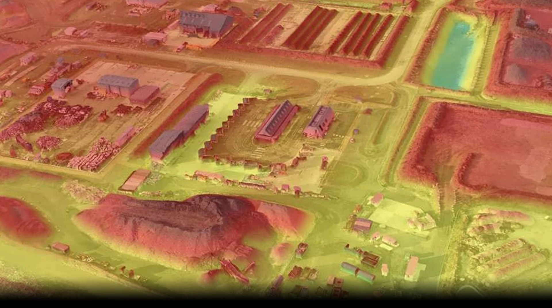
Digital Twins
Over the past 9 years, we have built in-house expertise in Digital Twin modelling and point cloud generation, setting new standards in precision mapping. Employing RTK-enabled drones and specialist ground control points, our data accuracy reaches millimetre precision. Our ability to tackle projects at scale is a testament to our experienced pilots and robust back-end support.