
Digital Twin Data Capture of Water Treatment Works

Overview
Team UAV were commissioned to execute a comprehensive project involving photogrammetry data collection of 14 water treatment works.
This ambitious project aimed to capture high-resolution images for detailed photogrammetry processing, with the goal of achieving an accurate reconstruction to 25mm and a resolution of under 1 cm per pixel. The project was integral in aiding the clients infrastructure management and planning strategies.

The Challenge
The project presented a series of challenges, each demanding a unique approach and solution.
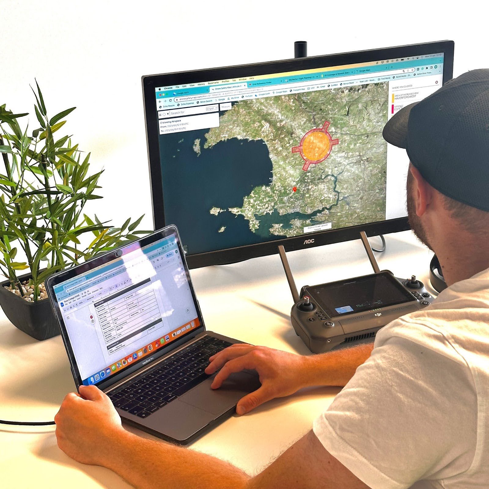
Navigating Diverse Environments: The diverse terrain of the 14 sites meant that each location required a bespoke flight plan. The varying weather conditions typical of the UK added another layer of complexity, necessitating real-time adjustments and a highly adaptable approach.
Technical Precision Needed: Achieving the high-resolution imaging of under 1cm/px and maintaining a reconstruction accuracy of 25mm required not just advanced technology but also exceptional skill and precision in execution.
Operational Efficiency Under Pressure: The project was time-bound, demanding speed and accuracy. Efficiently allocating resources and managing time across multiple sites was crucial for its success.
The Solution
Team UAV responded to these challenges with a strategic and dynamic approach.
Advanced Planning: Each site underwent a thorough survey before the drones took flight. This allowed the team to develop flight plans tailored to each location's specificities, ensuring efficiency and accuracy.
Cutting-Edge Technology: Team UAV used state-of-the-art drones equipped with advanced cameras to capture the high-resolution images essential for detailed photogrammetry.

Expert Team at the Helm: The project was manned by a team of experts in drone operation and data processing. Their expertise was key in navigating the operational and technical complexities of the project.
Adaptive Project Management: Flexibility was central to the project's management. This approach allowed the team to adeptly handle unexpected challenges, such as sudden weather changes or technical hitches.
Quality Assurance Protocols: Implementing strict quality assurance protocols throughout the project lifecycle ensures that every aspect of the operation, from flight planning to data collection and processing, adheres to the highest standards. This includes regular calibration of equipment, validation of data accuracy, and consistent review of operational procedures.

The Result
The project concluded with outstanding results, exceeding the expectations set at its inception.
Exemplary Data Collection: The team's efforts culminated in successfully collecting and processing high-resolution images, achieving the targeted resolution and accuracy. This feat was a testament to the advanced technology used and a reflection of the team's meticulous planning and execution skills.

Operational Mastery: Despite the diverse challenges posed by the different sites, the project was completed within the designated timeframe, showcasing Team UAV's proficiency in managing complex, large-scale projects. The project stood out as a model of operational efficiency, with the team demonstrating an exceptional ability to balance speed with precision, ensuring quality was never compromised.
Impactful Insights: The data provided was instrumental, offering the cleint critical insights for better infrastructure management and future planning. The detailed images and accurate reconstructions enabled them to make informed decisions, enhancing their future planning strategies and overall operational effectiveness.

Benchmark for Industry Excellence: This project set a new benchmark in drone-based photogrammetry. The project concluded with outstanding achievements, marking a significant milestone in the efficiency and capability of drone-based data collection.
Conclusion
Team UAV's comprehensive strategy and meticulous execution led to the successful completion of the photogrammetry data collection for all 14 water treatment works within an impressively condensed timeframe. The entire data capture process was accomplished in just 30 days of total on-site work. This rapid turnaround was particularly remarkable given the complexity and scale of the project.

Achieving such a swift completion was a testament to the team's operational efficiency and expertise. The use of advanced planning, cutting-edge technology, expert team coordination, and adaptive project management played a critical role in this achievement. The team's ability to quickly navigate varied terrains, adapt to unpredictable weather conditions, and manage technical challenges ensured that each day on site was maximised for productivity.
The data captured within this period met all the stringent quality and accuracy requirements. The high-resolution images obtained were pivotal in providing the client with the detailed insights needed for their infrastructure management and planning. This rapid yet thorough data collection process not only met the client’s immediate needs but also set a new benchmark in the field for speed and efficiency in large-scale photogrammetry projects.
This accomplishment underscores Team UAV's position as an industry leader, capable of delivering high-quality results under tight deadlines, reinforcing its reputation as a reliable and efficient drone service provider. Since these surveys were completed, Team UAV has carried out over 100 surveys of similar sites - making them the most qualified provider of photogrammetry data capture in the utility industry, a statement we are extremely proud of.