
Safer, Accurate and More Cost Effective Drone Surveys
Award-winning drone surveys from the UK’s most trusted drone service partner - when it comes to surveying the land from the air, we go above and beyond!
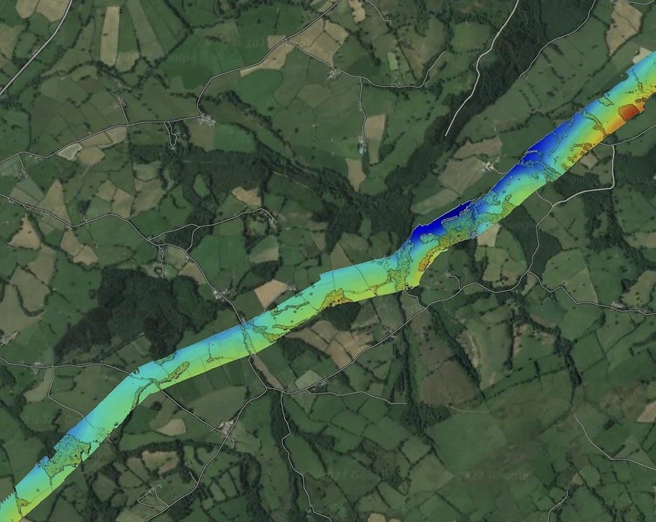
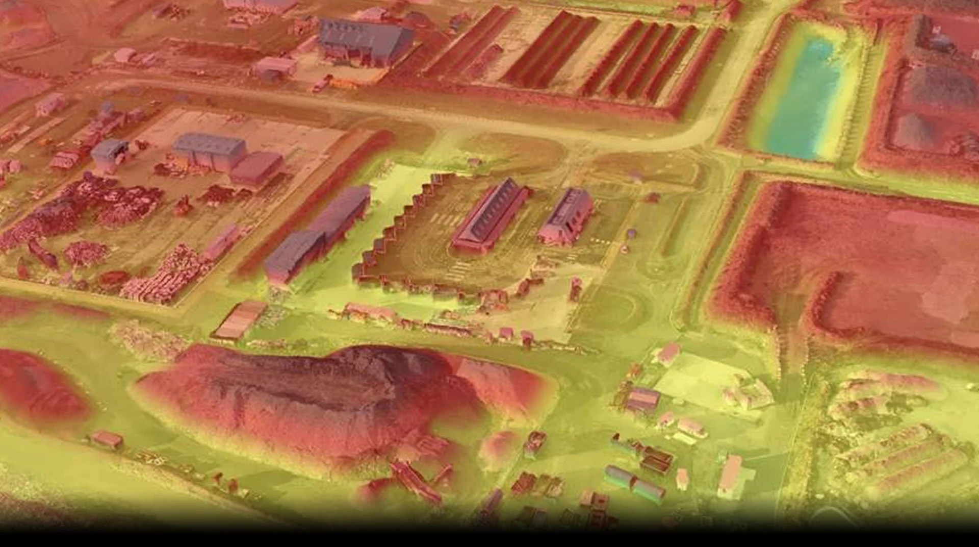
Digital Terrain Modelling
With a decade of experience in precision photogrammetry work for Government Agencies, MoD, National Infrastructure and private clients, we can capture highly accurate digital surface models using our range of fixed-wing or multirotor drones.
A single drone team can capture vast parcels of land per day, or carry out long corridor flights, and we can usually turn the data round for you within 24 hours. We can work on the coast, up a mountain, in rural and urban areas. On construction sites and aboard ships if needed. Our teams are used to working in demanding environments.