
Safer, Accurate and More Cost Effective Drone Surveys
Award-winning drone surveys from the UK’s most trusted drone service partner - when it comes to surveying the land from the air, we go above and beyond!

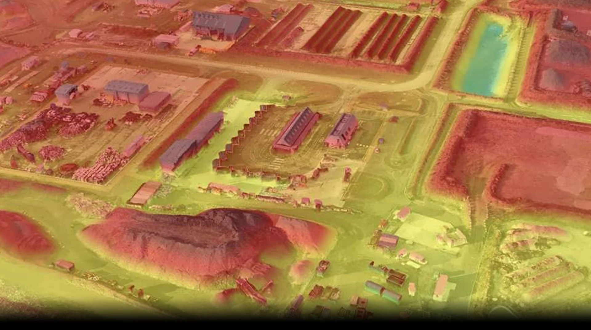
LiDAR Drone Survey
At the forefront of technological innovation, our Drone LiDAR surveys leverage a state-of-the-art LiDAR module, an exceptionally accurate Inertial Measurement Unit (IMU), and a 1-inch CMOS camera seamlessly integrated into a 3-axis stabilised gimbal— all mounted on our advanced drone platform. This sophisticated setup empowers us to capture expansive areas, covering up to 2 square kilometres in a single flight. The capability to gather data around intricate structures from an aerial perspective allows us to deliver meticulously accurate reconstructed models and generate real-time true-colour point cloud models.